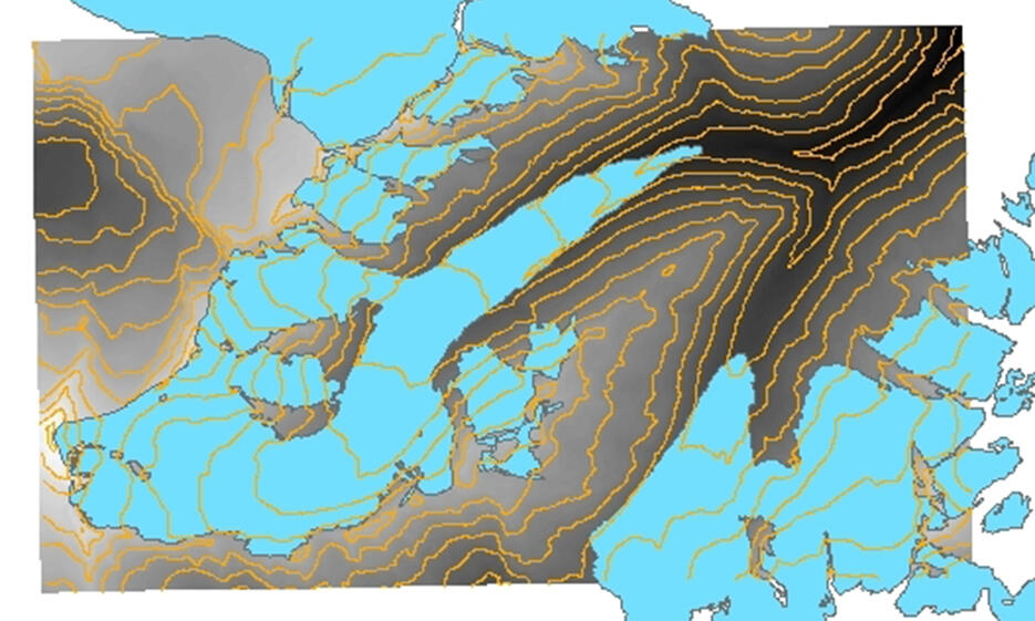
A variety of remotely sensed data from satellite, airborne and terrestrial platforms are available covering a range of time periods and resolutions.
Tirolean regional data:
Digital terrain models (DTMs) and, where applicable, orthophotos for the whole of Tirol exist from aerial photography and from airborne laser scanning.
TIRIS (Tirolean spatial data service) provides DEM and orthophoto as a WMS and can be downloaded here: orthophoto , DEM
An spatial overview of the data availability can be accessed online: https://portal.tirol.gv.at/LBAWeb/luftbilduebersicht.show
In addition the Swiss digital terrain model from the late 1980s and early 1990s covers the upper Rofental as well. More information can be obtained via SwissTopo.
Rofental airborne laser scanning:
The local dataset of airborne laser scan (ALS) data is comprised of 21 separate ALS acquisitions from 2001 to 2013, covering an area of 32 km2, including Hintereisferner Kesselwandferner, Langtaufererjochferner and “Stationsferner”.
10m resolution DEMs from these scans are available at https://doi.org/10.1594/PANGAEA.875889 and higher resolution datasets are archived at the Department of Geography, Innsbruck.
Key publications on the Rofental ALS data:
- Bollmann, E., Sailer, R., Briese, C., Stötter, J., Fritzmann, P. (2011). Potential of airborne laser scanning for geomorphologic feature and process detection and quantifications in high alpine mountains. In: Zeitschrift für Geomorphologie / Annals of Geomorphology / Annales de Geomorphologie 55/Suppl. 2, S. 83 – 104.
- Klug, C., Bollmann, E., Galos, S. P., Nicholson, L., Prinz, R., Rieg, L., Sailer, R., Stötter, J., and Kaser, G.: Geodetic reanalysis of annual glaciological mass balances (2001–2011) of Hintereisferner, Austria, The Cryosphere, 12, 833-849, https://doi.org/10.5194/tc-12-833-2018, 2018.
Terrestrial laser scanning:
In 2017, a permanent terrestrial laser scanner (TLS) was installed in a climate controlled container (46.79586° N, 10.78277° E) at an altitude of 3244 m a.s.l. m close to the summit “Im hintern Eis". The 3D Laser Scanner VZ-6000 (manufactured by RIEGL Laser Measurement Systems GmbH) offers a long measurement range of more than 6000 m and operates with beam divergence of 0.12 mrad at a wavelength of 1050 5 nm for snow and ice related applications.
The field of view covers Hintereisferner, Langtaufererjochferner and the surrounding high alpine terrain.
More details can be found here.
Satellite data:
In addition to globally available satellite data acquisitions a number of project specific date acquisitions for the Rofental have been made.
- Pleiades tri-stereo multispectral imagery, Institute of Geography University Innsbruck
- Sythentic Aperture Radar,
- Sentinel -2 , ENVEO
ENVEO has generated a complete satellite-based (Sentinel-2) Austrian Glacier Inventory for 2015/16, covering the Ötztal Alps including the Hintereisferner. Further, they have multi-temporal maps/shapefiles of transient and late summer snow lines on glaciers in the Austrian Alps from Landsat data since 1985 – 2016 and Sentinel-2 data since 2015.
Hintereisferner has been an important site for testing methods and applications of synthetic aperture radar for observation of glaciers, including aircraft campaigns, e.g. SAR580 in 1981, NASA AIRSAR in 1989, super test site for Space Shuttle Radar Missions in April and October 1994, and DLR E-SAR campaigns, with results reported in various publications (see publications list).
Oblique airborne photography
The University of Innsbruck typically undertakes an annual overflight of glaciers in the Rofental to collect photographs of snowlines and glacier features at the end of the summer. These images are archived at the Department of Atmospheric and Cryospheric Sciences, Innsbruck.
Webcam views onto glaciers
