4D- Event Stratigraphy Lake Hallstatt: Developing a Data Science-driven methodology for advanced event stratigraphy in Lake Hallstatt
Funded by the Tiroler Wissenschaftsförderung (TWF) (2022 - 2023)
PI: Marcel-Luciano Ortler
National and international collaborators:
Univ.-Prof. Dr. Michael Strasser, University of Innsbruck
Dr. Jasper Moernaut, University of Innsbruck
Dr. Steven Huang, National Taiwan University
Dr. Kerstin Kowarik, Natural History Museum Vienna
Dr. Hans Reschreiter, Natural History Museum Vienna
Prof. Flavio Anselmetti, University of Bern
Dr. Stefano Fabbri, University of Bern
Prof. Achim Brauer, GFZ German Research Centre for Geosciences
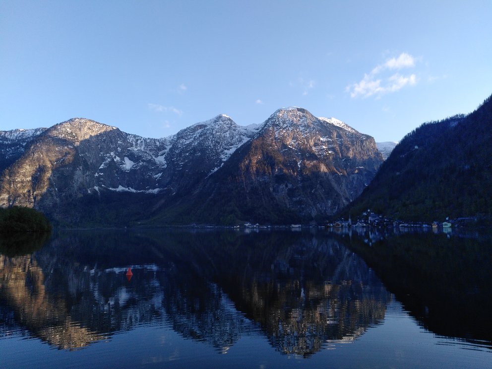
This project aims at developing a data-driven methodology to advance event stratigraphy of lacustrine sedimentary archives, which can represent high-resolution continuous records of Earth system processes such as geo-hazards (e.g. floods, earthquakes or debris flows), climate changes and human-environmental interaction (e.g. land use or pollution). Conclusively disentangling different natural drivers and anthropogenic processes from proxy evidence measured in lacustrine sedimentary events deposits comprises one of the major challenges in lacustrine event stratigraphy and related paleo-research applications. It is hypothesized that methodologies - developed in the field of Data Science – applied to data obtained from lake surveying and coring campaigns and, in particular, from high-resolution scientific core logging & scanning can provide the means to (i) increase our capacities to unravel lacustrine sedimentary archives, (ii) to reduce bias in basic data evaluation and (ii) enable new statistically sound applications to help discriminate event deposits and its trigger mechanisms. To test this, the here proposed 4D-Event Stratigraphy Lake Hallstatt TWF project will use Lake Hallstatt as natural laboratory that holds a fascinating high-resolution sedimentary record (i.e. mm-to-sub-mm-scale laminated background sediment with “sub-annual” resolution and sedimentation rates of ~0.5 cm/yr.). This record is “calibrated” for floods, debris flows, gravitational mass-movement events, earthquakes and brine spills from salt mining, as reported in historical chronicles and/or captured by instrumental data. Using available high-resolution datasets from different lake surveying and coring campaigns conducted over the last 10 years, the project aims at (1) improving and further developing methodological procedures for automated handling, processing and integrating large 2D and 3D digital datasets with its “4D” time frame; and (2) developing an innovative data-driven approach for studying extreme events recorded in high-resolution lacustrine archives. Results of this project, in general, are expected to be applicable to other paleo-lake research studies and, in particular, will be applied to long cores now drilled by a Lake Hallstatt deep drilling project, where archaeologists and geoscientists collaborate to advance understanding of causes and consequences of natural perturbation events and resiliencies of the interlinked socio-ecological system in the UNESCO World Heritage Cultural Landscape Hallstatt-Dachstein/Salzkammergut.