Of maps and manuscripts
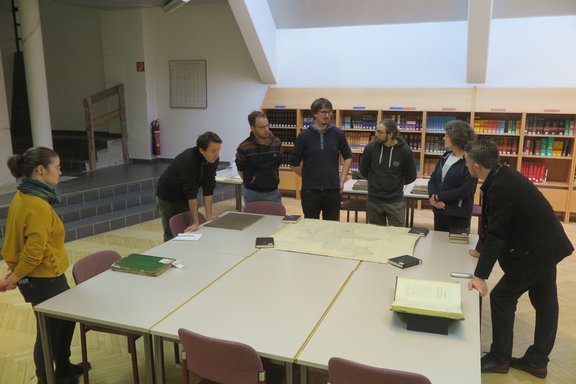
During a joint visit of the HILUC project team and its partners to the Tyrolean Provincial Archives (TLA), insights into historical research work were gained.
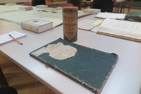
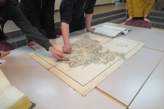
After a short general introduction to the process of archival research, the focus was on the presentation of forest descriptions and forest maps from the first half of the 19th century. Based on these complementary source genres, local historical land use can be reconstructed.
The forest descriptions provide information on regional socio-economic conditions and contain quantifiable data not only about the size and composition of the forest areas, but also about the local demand for forest products. Subsequently, conclusions can be drawn on certain forest use practices like forest grazing, branch-cutting or litter use. With the help of the forest maps corresponding to the manuscripts, suitable areas can be located.
The challenge here is to create complete data sets that contain both suitable forest maps and sufficiently detailed descriptions. A particular problem is that not all regions were described with the same level of detail, as the contemporary authors of forest descriptions had different emphases. Moreover, due to the territorial reorganisations of the Napoleonic Wars, some areas were described more precisely than others, as their forests were recorded from scratch.
In order to choose the final four test areas from this pre-selection, there has to be a comparison with the research results on historical flood events in a next step. Also, Hydrological modelling factors must be considered.


