Remote Sensing & Topographic LiDAR Research Group
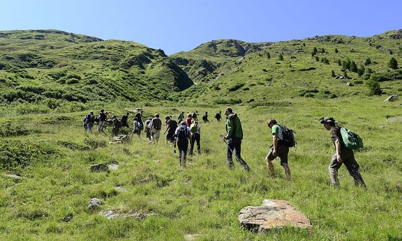
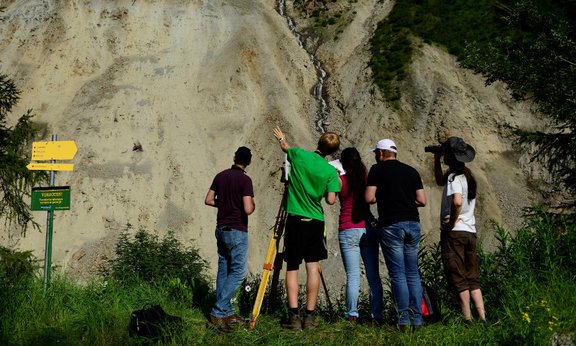
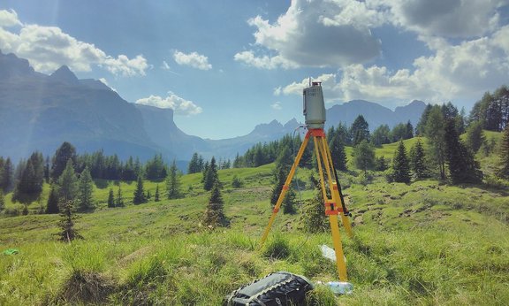
The objective of the research group is the development and application of methods for handling new remote sensing data types and collected geoinformation to map and analyse geographic phenomena in physical and human shaped environments triggered by natural processes and human players.


