Locations
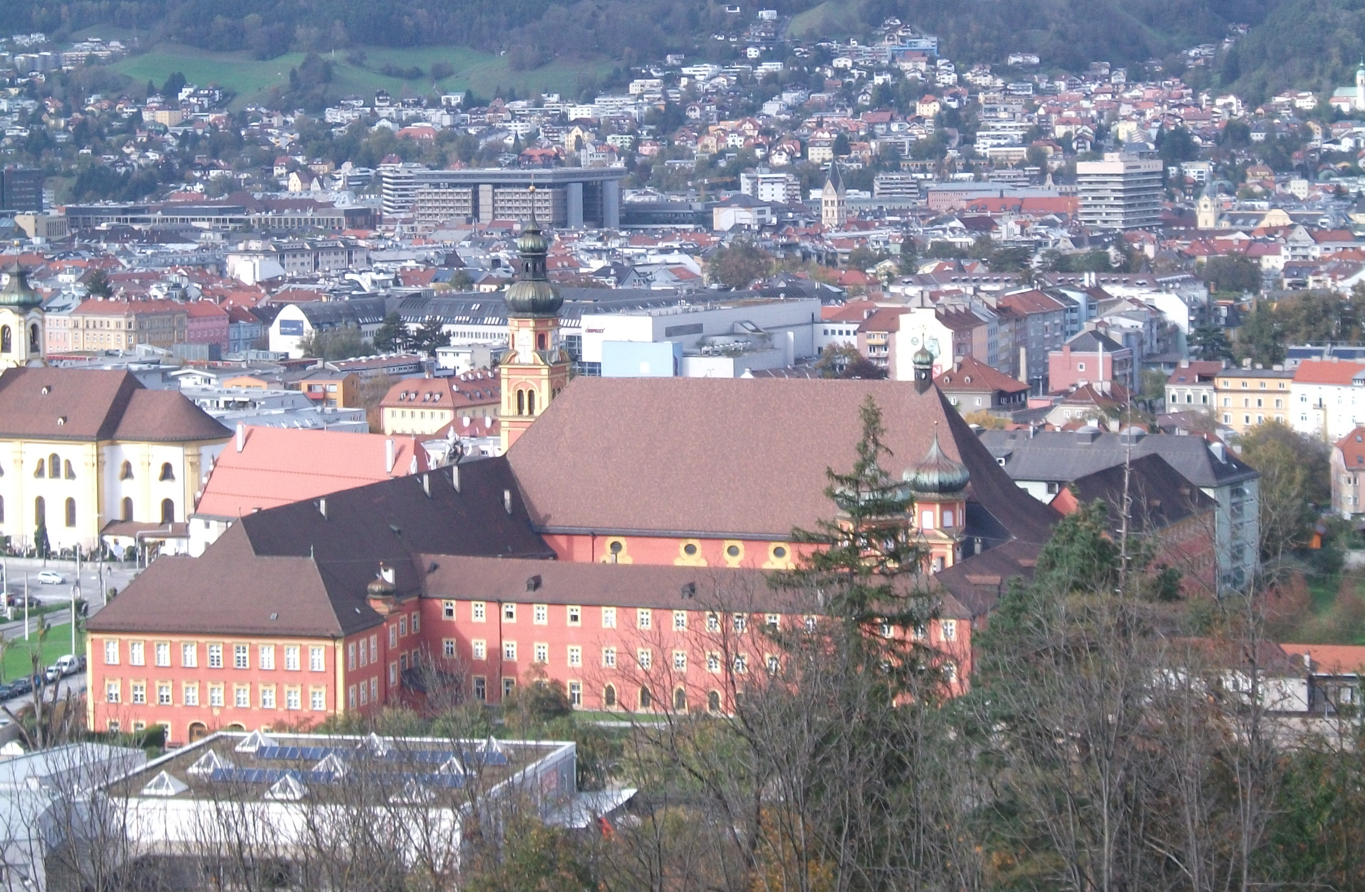
Innsbruck calls itself the Capital of the Austrian Alps. It is situated in the Inn Valley and is surrounded by scenic mountains to the north and south. Some of them are quite renown like Patscherkofel or Hafelekarspitze.
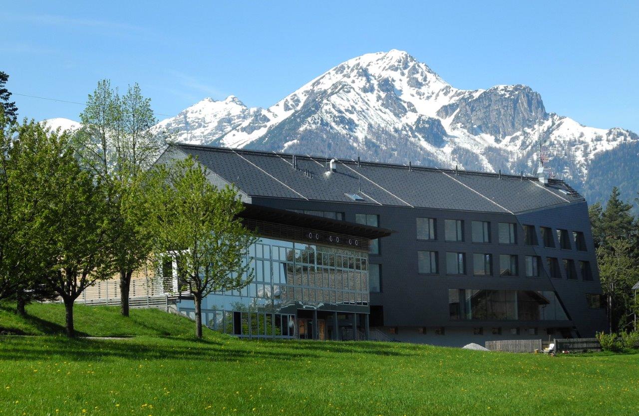
The Summer School is organized by the Institute of Meteorology and Geophysics, University of Innsbruck. However, InnSAR will take place outside of the university campus and will be hosted at Grillhof which is an educational center located at Vill, a suburban village at the northern foothills of Patscherkofel. Excursions will lead us to labs at the University, to field sites in the lower Inn Valley and to a glacier. More detailed information will be announced later.
Travel
To Innsbruck by Train
Innsbruck can be easily reached by train. For time tables, fares and tickets please visit the website of the Austrian Federal Railways (ÖBB). You will normally arrive at Innsbruck Main Railway Station which is conveniently linked to practically all public transportation across the country.
To Innsbruck by Plane
Innsbruck Airport is located about 4 km west of the city and is served by a number of European airlines. Daily scheduled flights to Innsbruck are from Frankfurt and Vienna. Please visit the website of Innsbruck airport for schedules or flights from other cities. Munich Airport (MUC) is the next major airport. The train ride from MUC to Innsbruck takes about two to three hours, alternatively you may also consider bus or shuttle services (see e.g. http://meinfernbus.de or http://www.tyrol-taxi.com/de/airport-shuttle/).
To Innsbruck by Car
Innsbruck can be reached by car from the west (Vienna) or the east (Zürich) along the Inntal Autobahn A12, from the south (Verona) along the Brenner Autobahn A13, and from the north (Munich and Garmisch-Partenkirchen) along the Seefelder Straße B177. Plan your car travel considering road pricing and frequent traffic jams due to transiting freight and holiday traveling. Respective information may be get from OEAMTC. Upon arrival at Innsbruck, leave Highway A12 at exit "Innsbruck Mitte" and immediately continue towards "Igls-Vill" at the traffic circle there. Grillhof is well signed out having followed "Igler Straße" some 5km towards south and "Grillhofweg" thereafter.
Public Transport in Innsbruck and to Grillhof
Public transport in Innsbruck and surroundings is co-ordinated by the Verkehrsverbund Tirol (VVT) and includes services by the local provider (IVB) Innsbrucker Verkehrsbetriebe. Grillhof can conveniently be reached using bus "J" (direction Vill-Igls) departing about every half hour from bus stop "Sillpark" which is close to "Innsbruck main station" (Hauptbahnhof). Leave bus "J" at stop "Vill, Dorfstraße" and follow "Grillhofweg" towards Grillhof itself. Please watch the downloadable sketch (right hand panel) illustrating how to find bus stop "Sillpark" arriving from the airport (bus "F") or train, respectively.
A one-week ticket costs about EUR 15. If you plan to stay longer you may consider buying the Innsbruck Card which includes public transportation and many other services.
Cable Railways
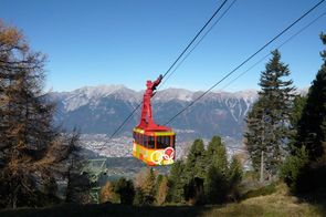
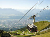
Innsbruck and its environments offer plenty opportunities for mountaineering, hiking, biking etc. Thus, the Patscherkofelbahn operates immediately south of Grillhof which brings you up to the Patscherkofel mountain.North of the town, the Innsbrucker Nordkettenbahnen operates cable railways from the town center to the Hungerburg, the Seegrube and the Hafelekar mountain.
Bike Rental
I-Bike offers bike rentals for single days and a whole week.
Address of the Venue
Tiroler Bildungsinstitut Grillhof
A-6080 Igls - Vill, Grillhofweg 100
Tel. +43 512 3838-0
Coordinates: (47° 16' N, 11° 24' E, 574 m MSL)